Top 20 Points of Interest along the 5RU route

In an event like the Five Rivers Ultra , it's important to lift your head up from time to time and enjoy the view and the sights!

Here are our top twenty scenic highlights to keep your eyes peeled for as you make your way along the course. Enjoy!

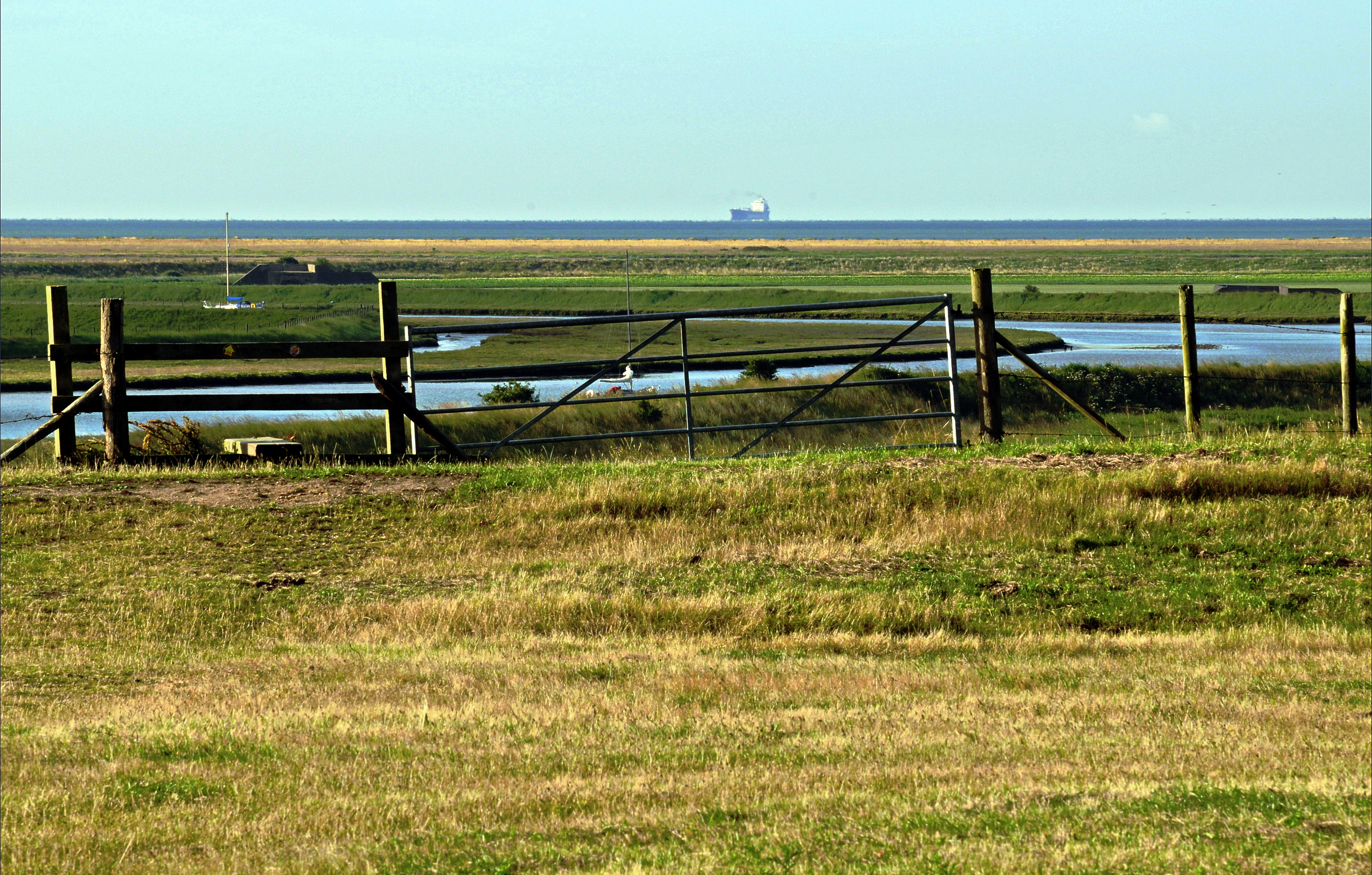
The biggest ships in the world, @ 0 miles

Felixstowe Container Port lies directly across the water from the start line and handles almost half of the UK's containerised trade.

You will get a close up view of some of the world's largest container ships as they are either unloaded or re-loaded ready for their next voyage. The sheer size of these ships is hard to comprehend. The latest new record holder, the Evergreen Ever Ace, can carry 24,000 shipping containers when fully laden.

Ramsey's hilltop windmill, @ 5 miles

Ramsey's windmill actually started out life in Woodbridge, Suffolk. It was then dismantled and re-erected in its current Essex location in 1842 by millwright Henry Collins.

It was a working mill until the Second World War, after which it fell into disrepair. New owners commenced a full restoration in 2013.

The unique "House for Essex", @ 8 miles

If the sun is shining on race day, you will see the metallic roof of the 'House for Essex' glinting in the sun on the hillside above the south shore of the Stour estuary.

The race route doesn't take you right past the house itself, but it is available to rent as a holiday let, should you ever fancy coming back to experience a short stay in this bizarre but strangely wonderful artistic creation...
Home of the Witchfinder General, @ 14 miles

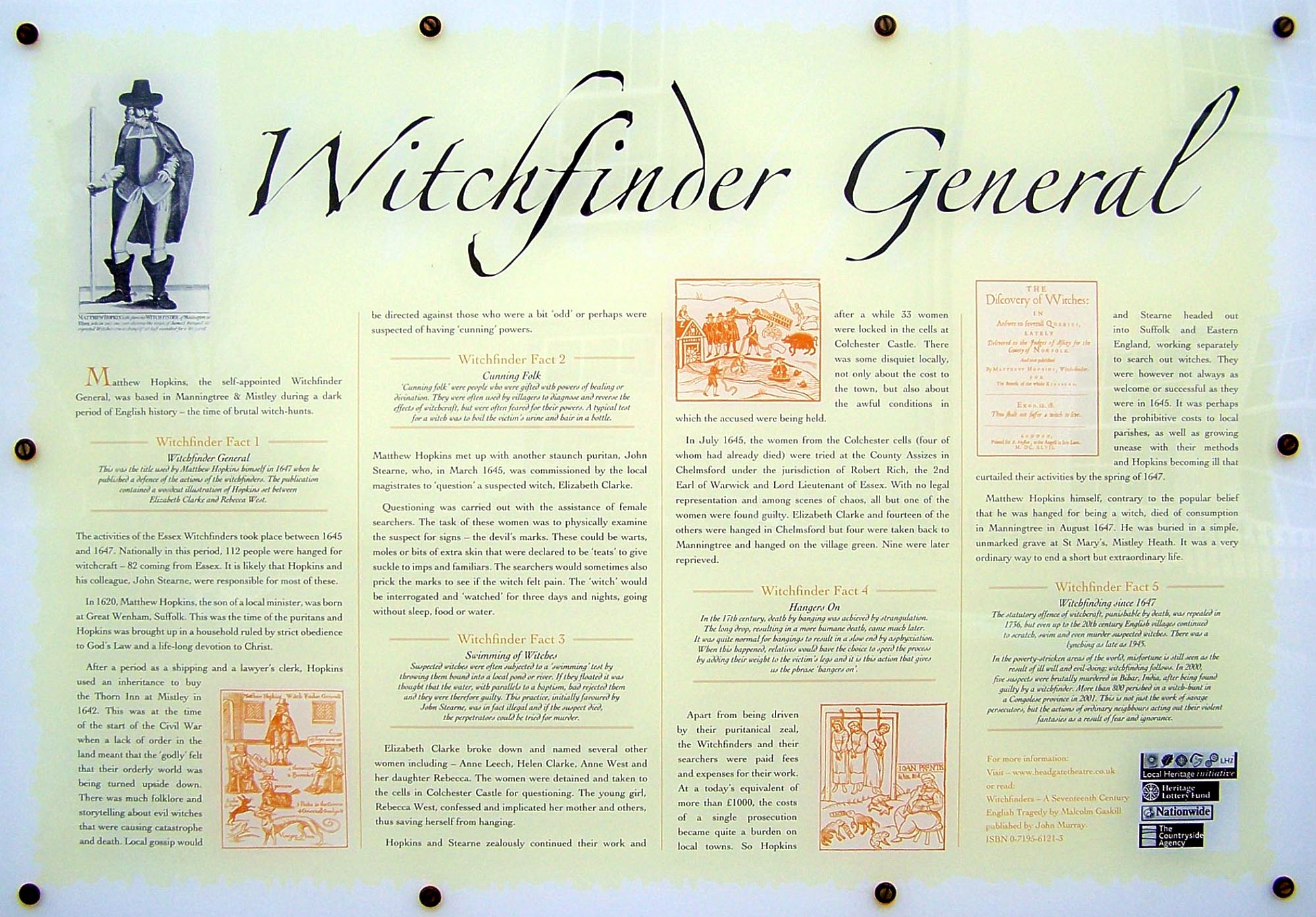
As you enter the small town of Mistley, you'll pass the Mistley Thorn Inn, which sits on the site of a former Inn owned by John Hopkins aka The Witchfinder General of the 1640s. (The explanatory plaque shown in the photo can be found on the side wall of the Mistley Thorn Inn).

His very first victim was his neighbour Elizabeth Clarke, who was put on trial for witchcraft and then hanged. Hopkins later developed the infamous 'water test' for identifying witches by their ability to float rather than drown.

His own body is believed to be buried in the Mistley Towers graveyard, just a hundred metres or so further down the road.

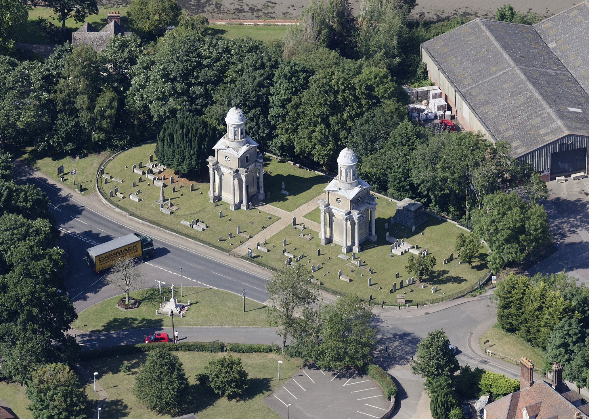
Mistley's Twin Towers, @ 14 miles

Mistley's Twin Towers are all that remain of a grandiose but highly unconventional Georgian Church designed by Robert Adam in 1776.

The main body of the church was demolished in 1870 in favour of a more 'fashionable' Gothic Revival style church built a little further inland.

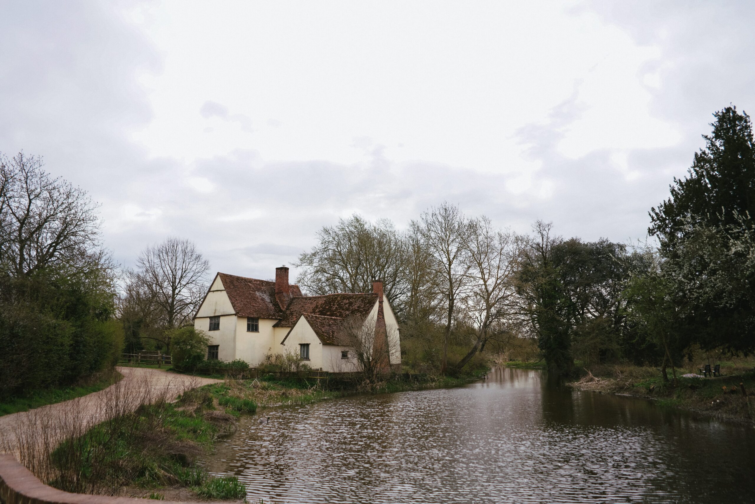
Scene of John Constable's "The Haywain", @ 18 miles

After 18 miles you pass Flatford Mill and cross the River Stour in the heart of "Constable Country", made famous by landscape painter John Constable.

Willy Lott's Cottage (pictured here) features in Constable's most famous painting, The Haywain. It remains pretty much unchanged since it was painted over 200 years ago in 1821.

There is a National Trust Visitor Centre & Café nearby - which would make an excellent stop for friends & family looking to cheer on 5RU runners at an early point in the course.

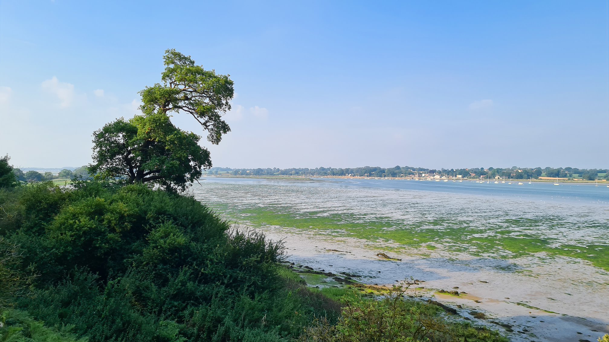
Stutton Ness, @ 23 miles

Stutton Ness is a wonderfully peaceful shingle headland on the north shore of the River Stour estuary, offering beautiful views up and down the river.

Depending on the state of the tide as you approach, you may have the opportunity to reach it along firm wet sand. Near high tide though, the approach can be hard work along a kilometre long narrow strip of pebbly shingle.

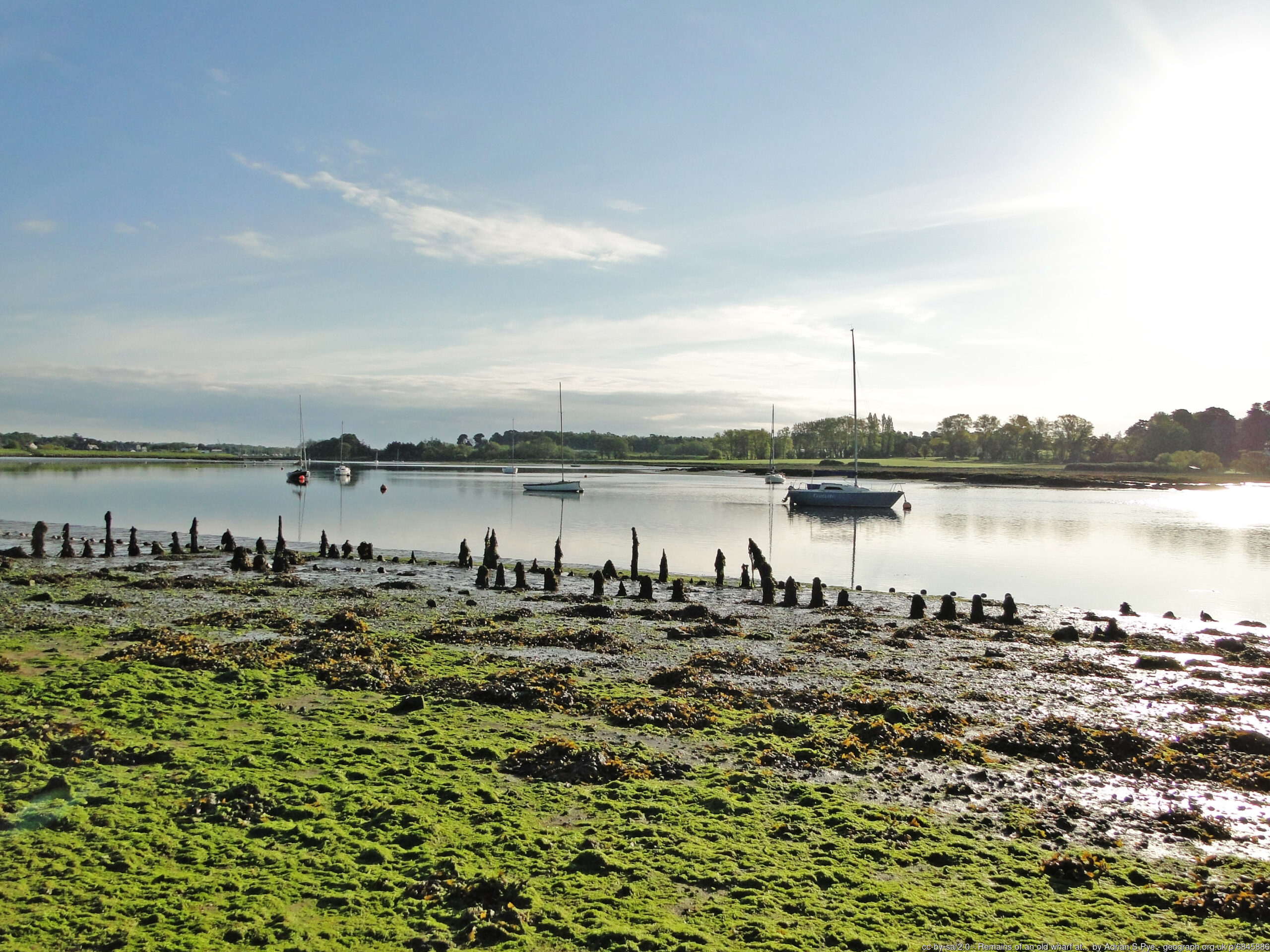
Pin Mill, @ 38 miles

Pin Mill is a small coastal hamlet on the west shore of the Orwell Estuary with a very maritime feel to it, thanks to a couple of small boatyards and a large number of residential houseboats nestled along the shoreline to the south of the local inn, The Butt & Oyster.

Pin Mill was the real world setting for the seventh of the Swallows and Amazons series of children's books, "We Didn't Mean To Go To Sea".

The forested headland above the hamlet is owned and managed by the National Trust.

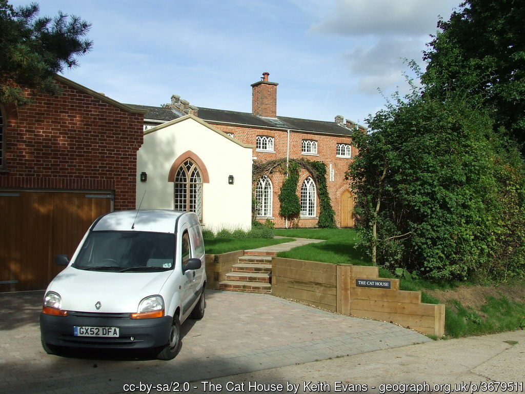
The Cat House, @ 39 miles

This gothic styled house sits adjacent to Woolverstone Marina. It acquired its unusual name thanks to a previous owner who found an 'interesting' use for his cat after it died. He had it stuffed and then displayed it on a window ledge to act as a signal whenever the coast was clear for local smugglers seeking to avoid the clutches of customs boat patrols along the River Orwell!

Orwell Bridge, @ 42 miles

The sleek and graceful form of this 1982-built bridge is best appreciated from afar as you wend your way towards it along the banks of the River Orwell.

Up close it becomes quite a noisy affair due to the heavy traffic speeding along it at most times of day and night. There are protected pedestrian walkways along both the north and south sides of the bridge. The race route uses the south side of the bridge, before descending back to ground level via an ~80 step staircase on the eastern shore of the river.

Kyson Point, @ 64 miles

Kyson Point sits at the confluence of the River Deben, Martlesham Creek, and the tidal mudflats leading into the market town of Woodbridge, offering extensive views in all directions. Kyson Hill sits just behind it and is owned by the National Trust.

Woodbridge Tide Mill, @ 65 miles

A tide mill has stood on the banks of the river here for more than 850 years. The present mill was built in the 1790s and finally closed as a commercially operating mill as recently as 1957. It has since been restored to full working order as a living museum producing flour again as a 'spectator sport'.

Sutton Hoo Ship Burial Ground, @ 68 miles

The race route takes you right past the mysterious group of mounds where the Great Anglo-Saxon Ship Burial was discovered in 1939.

Coins found at the site have dated the burial to around 625 AD. The most iconic dicovery was the famous Sutton Hoo helmet which now resides at the British Museum. An outsized replica now sits at the entrance of the recently renovated National Trust visitor centre set half a mile or so away from the Burial Mounds.

When you look down to the River Deben, it's hard to believe that a ship this size was dragged up the hillside to its final resting place here!

Nettle Hill, @ 71 miles

Nettle Hill offers some of the most beautiful riverside views of the entire race course, but it does also live up to its name with a profusion of stinging nettles.

In May the nettles will hopefully not prove too much of a problem, but as the summer season progresses the nettle growth requires the wearing of sturdy long trousers to allow safe passage along the footpath here!

Ramsholt Arms, @ 74 miles

The Ramsholt Arms nestles beautifully on the peaceful eastern shore of the River Deben, offering fabulous sunset views across the river in good weather. It would make a great venue for family and friends to support 3RU competitors as they go past in the afternoon or evening!

Shingle Street, @ 79 miles

Shingle Street is a tiny coastal single-street hamlet on a remote section of the Suffolk Coast, famous for its extensive shingle beach and coastal lagoons.

The route here follows the top of the shingle beach on the seaward side of the line of houses. Be warned, it offers a stern test for tired feet, but it only continues for about 600m before you can get back onto a soft grassy trail again.

Burrow Hill, @ 84 miles

Burrow Hill rises only 15m above sea level, but in the surrounding area of flat coastal marshlands it feels much higher than that, offering panoramic views in all directions from its large flat summit area.

These days it's a beautifully tranquil spot, but in Anglo Saxon times things were probably rather different. Burrow Hill was actually an island, connected to the mainland further north by a 500m long causeway called the 'Thrift'. Over 200 skeletons - almost all male - were excavated here in the 1970s and 1980s. Some have speculated that the hill might have been the scene of a massacre by early Viking invaders in the 800s.

After you descend north off the top of the hill, you will follow the slightly raised track of the 'Thrift' towards Butley.

Orford Castle, @ 91 miles

Orford Castle is really just the Inner Keep of a much larger castle that was built here by Henry II in the 1170s. It has a highly unusual polygonal shape.

The outer part of the castle was apparently dismantled in the early 1600s so that the stone could be re-used in the construction of Sudbourne Manor a few miles north of Orford.

Orford Ness, @ 92 miles

Orford Ness is the largest vegetated shingle spit in Europe, with a length of 10 miles, formed by longshore drift over the last 1000 years or so. When Orford Castle was built in the 1170s, Orford faced the open sea rather than the River Ore.

The Ness has a varied and sometimes mysterious history, having been used in the past  for various military purposes including the development of radar, and some secret atomic weapons research.

A large medium wave transmitter array on the northern half of the spit was used to transmit the BBC World Service from 1982 until 2011.


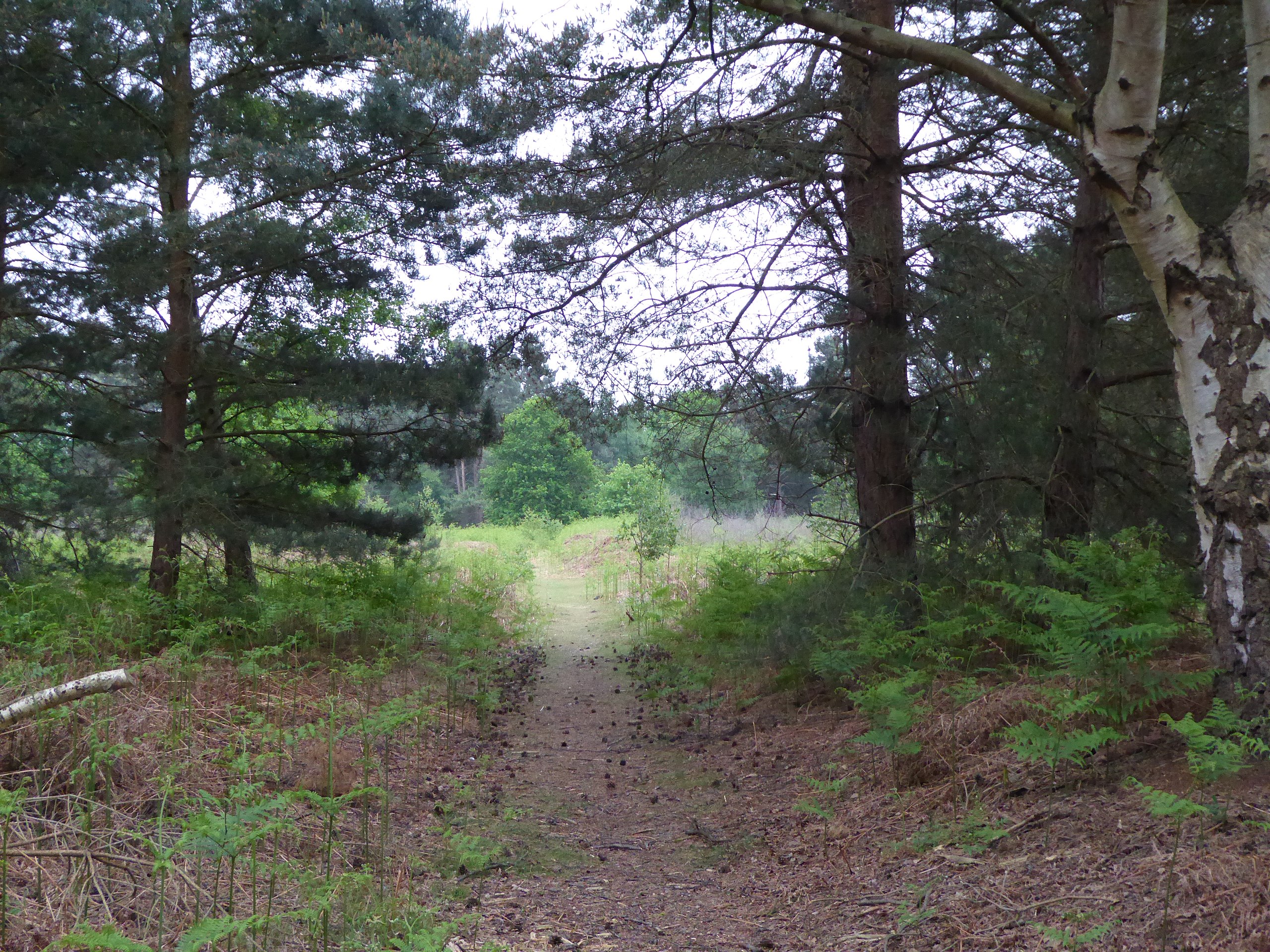
Tunstall Forest, @ 101 miles

The last couple of miles of the 5RU takes you through the northern edge of Tunstall Forest, which includes a mixture of coniferous plantations, broadleaved belts and some delightful open heathland areas.
linkedin facebook pinterest youtube rss twitter instagram facebook-blank rss-blank linkedin-blank pinterest youtube twitter instagram